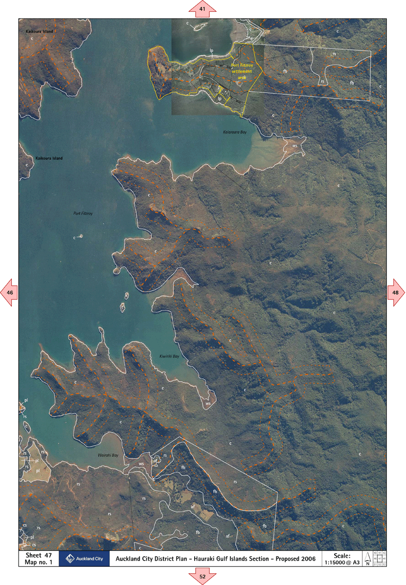
Proposed District Plan - Hauraki Gulf Islands: Planning
maps
 Sheet 47 Planning map 1
The purpose of this map is to indicate relevant zoning information.
Click on the area in the map legend to link to the appropriate text.
Note that this image
is fairly large to show enough detail to help you get the correct
information.
 Click here to download
the high resolution print version of this Planning Map
Click here to download
the high resolution print version of this Planning Map
(Click
here
for instructions if you're unsure how to use Acrobat pdf
files)
Click the map legends for more detail. Click
here
for more help
Click here to
download the high resolution print version of this
Planning Map
(Click
here
for instructions if you're unsure how to use Acrobat pdf
files)