Central area planning map 4
Specific height controls
The purpose of this map is to indicate relevant zoning information. This image will show enough detail to give you an overview of height controls. To view specific location details, you will need to download the pdf version of the map below.Click on the area in the map legend to link to the appropriate text.
|
|
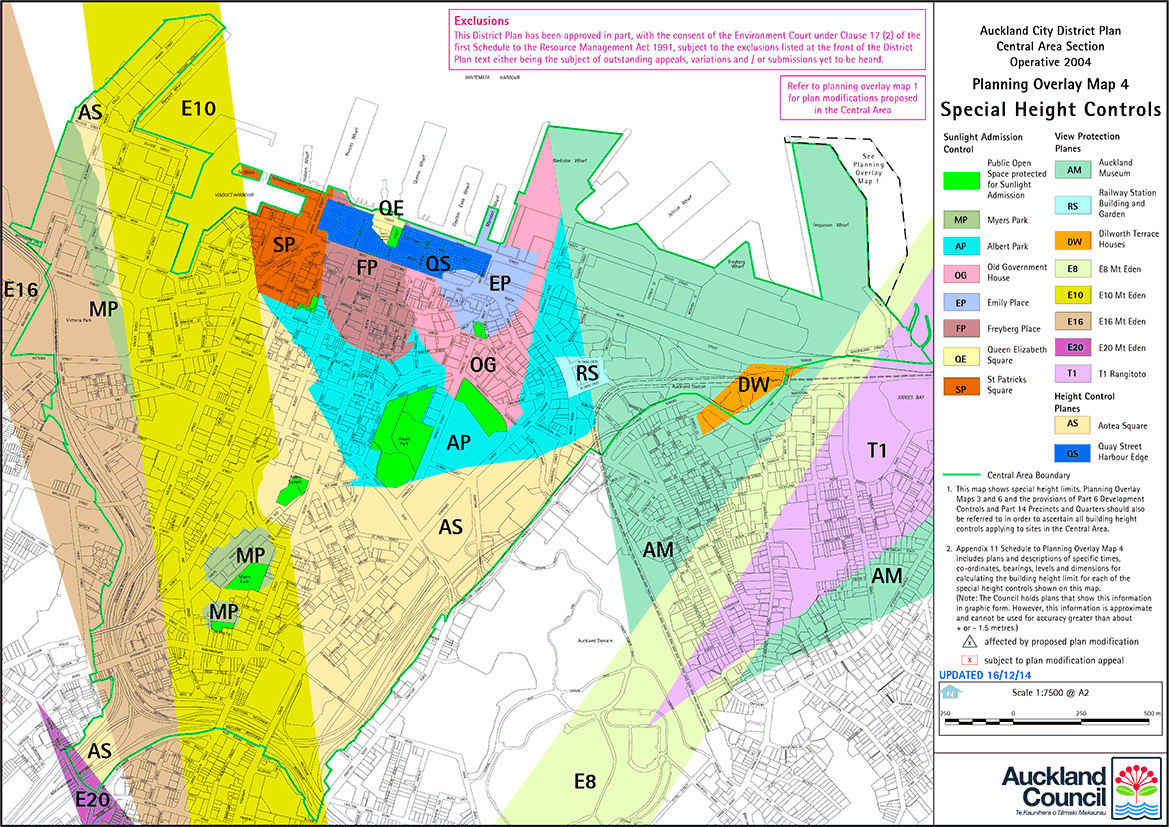 Click the map legends for more detail.