Plans, policies and reports
District Plan Hauraki Gulf Islands Section - Proposed 2006
(Notified version 2006)
Street index |
Planning maps |
Text |
Appendices |
Annexures |
Section 32 material |
Plan modifications |
Help |
Notified - Home |
Decision - Home
Appendix 1e - Schedule of geological items - inner islands
1.0 Introduction
2.0 Key to reasons for scheduling geological items
3.0 Disclaimer for all diagrams in appendix 1e
4.0 Diagrams of scheduled geological items
5.0 Diagrams of site surrounds for scheduled geological items
1.0 Introduction
This appendix contains key information about scheduled geological items. In
particular it identifies:
- The location of scheduled items, including the site surrounds.
- The category (A or B) applying to each item.
- The reasons for scheduling each item.
Scheduled geological items are shown on the planning maps.
Part 7 - Heritage contains the objectives, policies
and rules applying to such items.
Section 4.0 of this appendix contains diagrams of the
scheduled items. Some items have been grouped within a common site surrounds.
Those site surrounds diagrams are contained in section 5.0.
The diagrams in sections 4.0 and 5.0 are
ordered according to their planning map reference number.
2.0 Key to reasons for scheduling geological items
Each diagram includes a record of the reasons for scheduling the particular
item. The reasons relate to the criteria identified in appendix 4 - Criteria for
scheduling heritage items. The list of reasons for scheduling geological items
is as follows:
| Letter |
Reason |
| A/a |
Geological significance |
| B/b |
Rarity |
| C/c |
Scientific potential |
| D/d |
Representativeness |
| E/e |
Diversity |
| F/f |
Group |
| G/g |
Visual contribution to the landscape |
| H/h |
Setting |
| I/i |
Intactness |
| J/j |
Education and interpretation value |
| K/k |
Community association with, or public esteem for |
| L/l |
Association with geology-related events or industry, or the
history of geology |
The reasons are identified on each diagram in the following manner:
- A capital letter (eg A, D, L) means that the scheduled item scored
significantly (ie above the median) for this criteria.
- A lower case letter (eg a, d, l) means that the scheduled item has scored
moderately (ie below the median) for this criteria.
- Where a letter is omitted, the scheduled item has not scored against this
criteria.
3.0 Disclaimer for all diagrams in appendix 1e
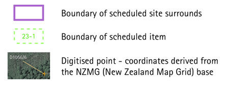
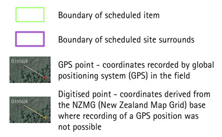
The scheduled items are defined by latitude and longitude coordinates. The
polygon, shown on the diagrams as a green outline, is defined by the coordinates
provided and forms the definitive identity and location of the scheduled item,
with all other identifying information (address etc) being supplementary.
Some diagrams may include parts of an item extending below mean high water
springs (MHWS). Areas below MHWS fall within the jurisdiction of the Auckland
Regional Council, and are therefore outside the jurisdiction of this Plan. Any
areas below MHWS are indicative and shown for information purposes only.
4.0 Diagrams of scheduled geological items
Diagrams legend
5.0 Diagrams of site surrounds for scheduled geological
items
hgiApp01e-23-28
Diagram legend